
Length: 6km – 3.75m
View Llangwnnadl – Tŷ Mawr Walk in a larger map
Directions
A walk around Llangwnnadl that begins and ends at the Pont yr Afon Fawr car park (SH 206341)
• Starting point in the car park at Pont yr Afon Fawr (SH 206341)
• From the car park cross the bridge and follow the path on the left to the beach (Traeth Penllech).
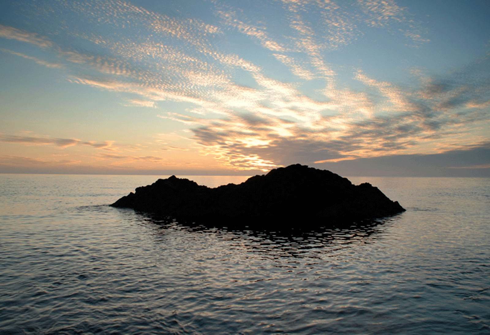
• Walk along the beach in a westerly direction. (Note: If it is near high tide, you will have to cross the river on the beach, climb the steps up the cliff and walk along the cliff top to Porth Colmon.)
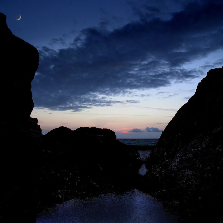
• Continue through the gate on your left (SH 199341) and along the cliff top towards Porth Colmon (SH 194342)
• Continue past Porth Colmon till you get to Porth Tŷ Mawr (SH 188331).
• Turn away from the coast, past Tŷ Mawr farm, coming out onto the costal road.
• Turn left, past Bryn Villa and then continue along the footpath on the right hand side near Tŷ Cefn (SH 198327). (* Path closed – Continue along the road till you arrive at the chapel (Capel Penygraig). Turn right and walk down the hill to the bridge (Pont Pen y Graig). Then to the left and follow the road back to the car park)
• Turn right when you come to the road between Penygraig and Hebron. Turn left onto the lane that leads to Ty’n
Rhos (SH 205326).
• Follow the path that comes out between the church (Eglwys Llangwnnadl, SH 208332) and the Old School (Hen
Ysgol). (Eglwys Llangwnnadl is well worth visiting)
• Continue along the path near yr Hen Ysgol (SH 207332) and through Parc Nant (north west)
• When you arrive at the costal road, turn to the right and walk past Ty’n Cae, Nant and Penllech Uchaf back to the car park.